IMLIL, A MOROCCAN MOUNTAIN COMMUNITY STILL IN CHANGE _ the rehraya catchment and its landscape
Only 60km from Marrakech, the town is considered the gate to the High Atlas region. It was the ancient Greek poet Hesiod, who wrote about Atlas, a Titan who was condemned to stand at the end of the earth and hold up the celestial heavens for eternity.
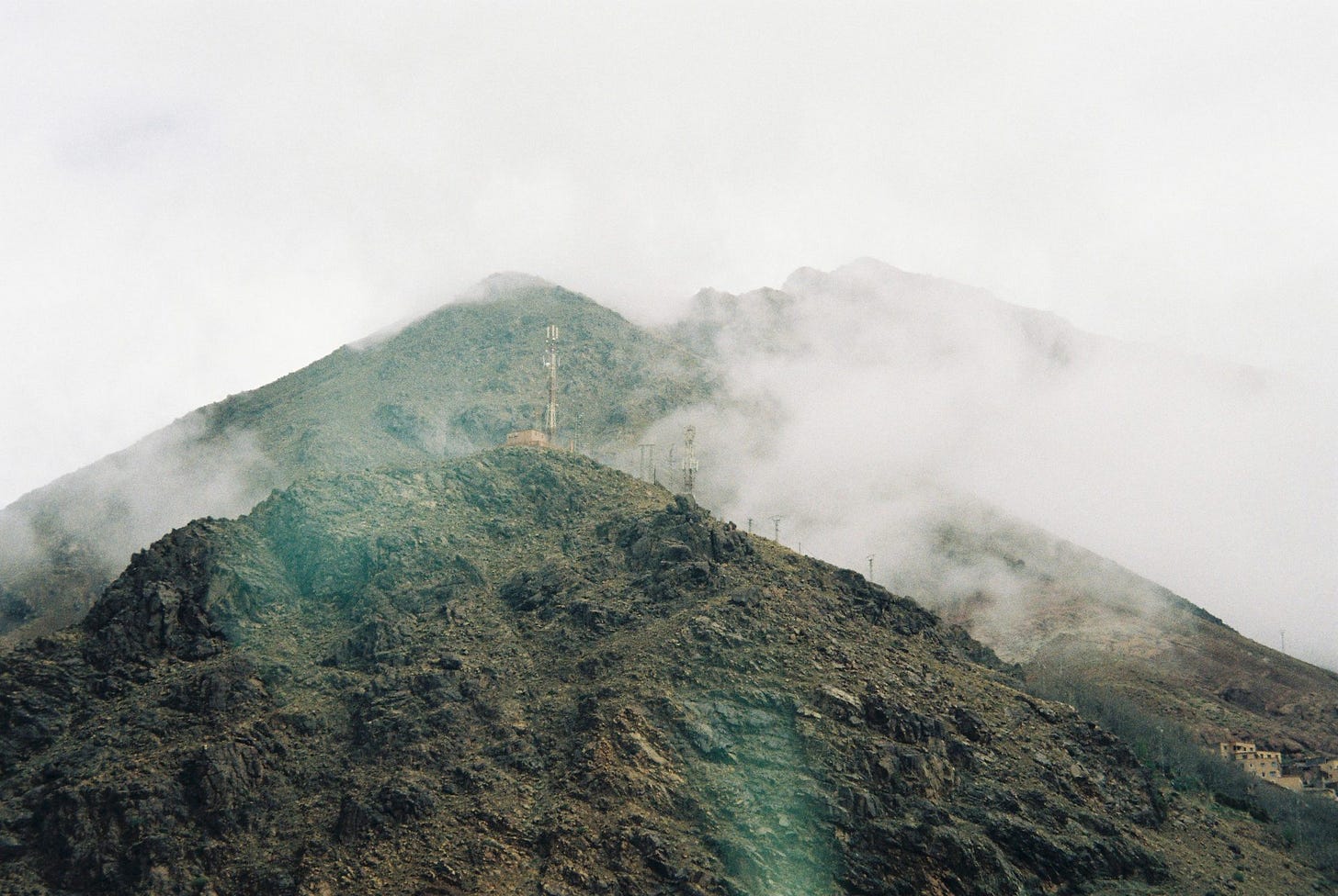
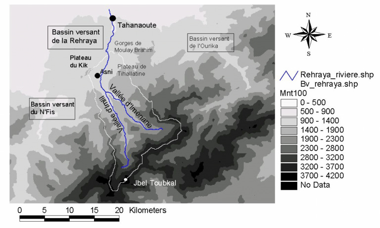
The location of the Atlas Mountain is in the Maghreb, North Africa, and rises up from the flat lands in Morocco, through Algeria and on into Tunisia. These mountains separate the Mediterranean and Atlantic coast lines and beyond them to the south, they descend into the Sahara Desert. The town of Imlil is nestled in the beautiful Toubkal valley. The village is near the highest mountain in North Africa, Jebel Toubkal. Imlil village is located at 1800m/5900ft above sea level.
“Imlil experiences a semi-arid mountainous climate. Significant winter snowfall is an important store of water. This will often be released as a rapid transfer during the spring melt, from about March/April. Heavy rainstorms can occur throughout the year and may combine with spring snow melt to create significant overland flow and potential flooding (1995).” In March 2018 a flash flood in one of the tributary valleys swept away a stretch of the main road between Imlil and Asni cutting communications for a day, in 2019 a similar event took place.
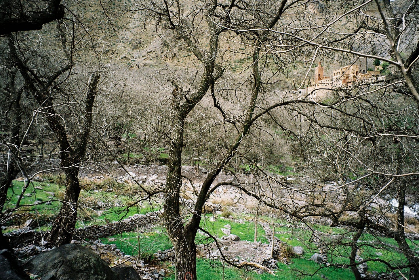
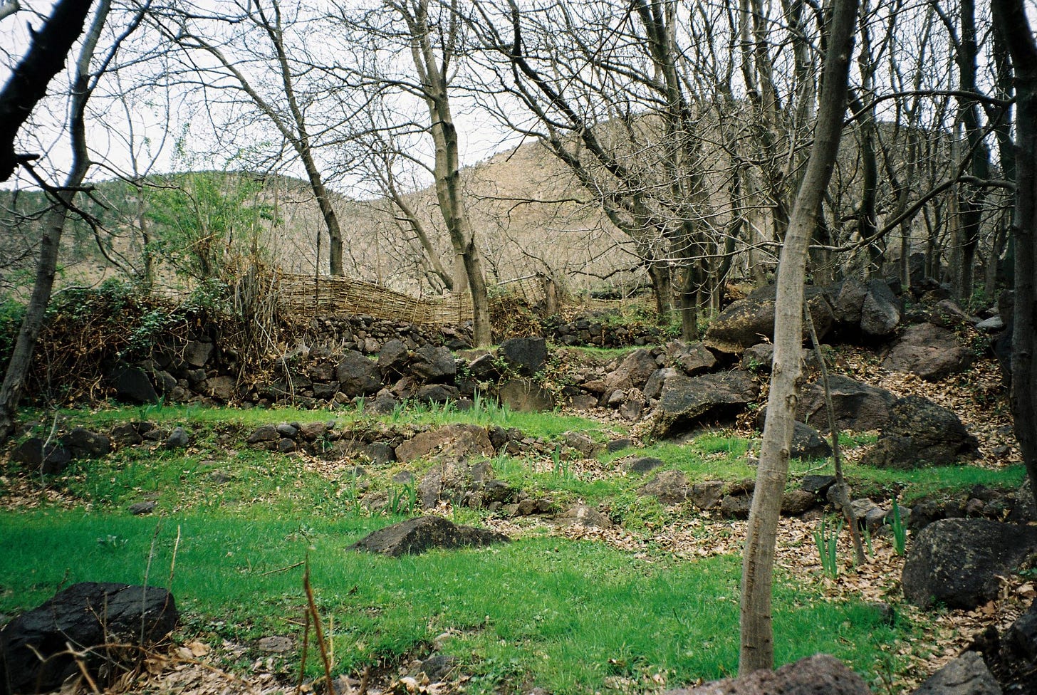
“Tree coverage is generally rather sparse, with some pine trees on the upper slopes and fruit/walnut trees at lower elevations and in the valley bottom. In the winter, interception is minimal with the lack of leaves on most trees. There is some grass/crop coverage in the valley especially during the summer. Infiltration will be limited on the upper slopes which are predominantly bare rock with limited soil development. On the lower slopes, scree will enable some water to drain rapidly through broken rock fragments. Soil development on the lower slopes and valley floor will enable some infiltration to take place.
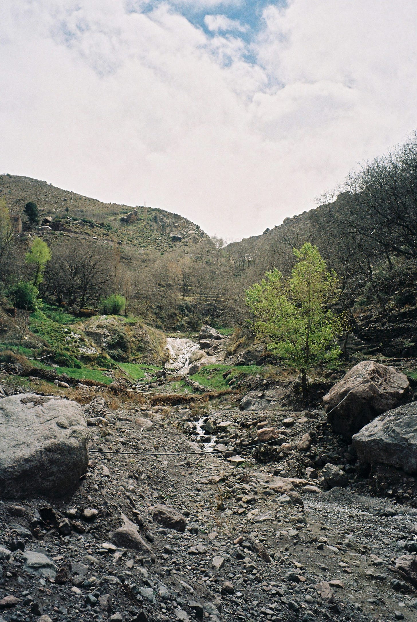
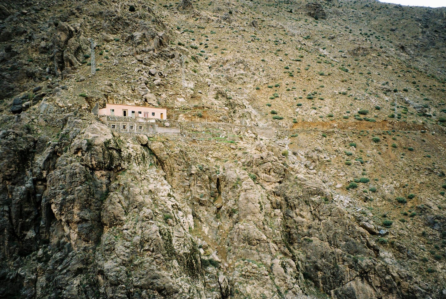
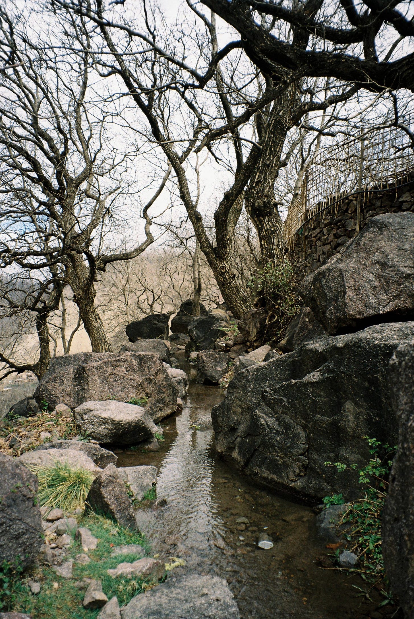
This is likely to be a significant form of water transfer due to the steep slopes, bare rock outcrops, impermeable rocks, lack of vegetation and limited infiltration. There are numerous ‘dry’ channels on the mountain slopes suggesting the importance of overland flow in response to rainfall events. The significance of overland flow in the area accounts for the high flood risk (1995, 2018).
Due to the limited development of soils on the higher slopes, throughflow [when the water flows ‘through’ the mountain] will be very limited here. At lower elevations, there will be some throughflow especially where coarse, angular rock debris has accumulated. Baseflow will be very limited due to the presence of predominantly impermeable rocks.
Much of the area is underlain by impermeable igneous rocks which account for the steep slopes and jagged peaks that comprise this spectacular mountain landscape. Water will be transferred rapidly by over- land flow following heavy rainfall or snow melt
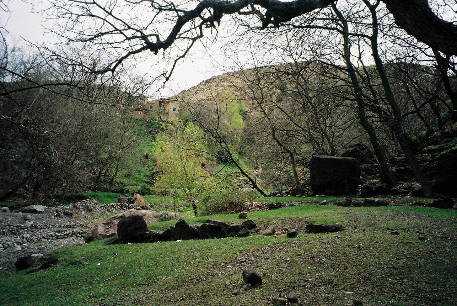
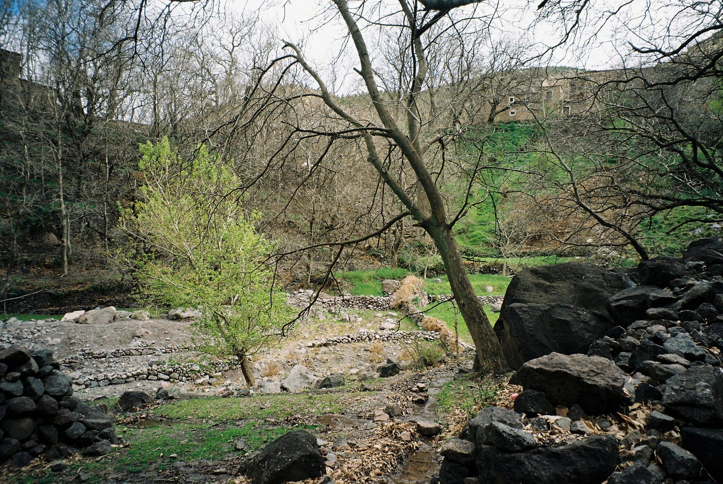
Traditional trees such as walnuts and fruit trees provide some vegetation cover particularly at lower elevations and in the valley bottom. The absence of leaves in winter reduces the effectiveness of these trees in the interception of precipitation. At higher elevations patchy coniferous (pine) trees plantations provide some interception throughout the year. Grass and some cereal crops on the valley floor will intercept precipitation particularly in the summer.
Water is managed in the Imlil valley to provide drinking water from springs and water for irrigation. Concrete channels have been constructed on the valley sides to transfer water to the terraces and gardens, watering the walnut and fruit trees. On the valley floor, stone walls have been used to divert water into small fields to water fruit trees, grazing pasture and food crops."
"The watershed altitude ranges from 1084 to 4167m, precipitation occurring as snow in the upper parts of the watershed. The main geological formation is granite, but some clay inclusions are present north of the watershed as well as limestone-marl formations. Overall, the bedrock is shallow and fractured. In terms of geomorphology, rock faces as well as scree slopes, debris fans and gravelly river beds are found. Slopes are very steep with an average grade of 19 % and soils are shallow. Based on these features, quick flow response is expected in this basin, with its lag time estimated at about 4 hours."
^ shows the relationship between precipitation and streamflow for 1980-81 and 1995 (the year of the Imlil flash flood). The graphs show clearly the irregularity and high intensity of precipitation events (snow in winter and rain in summer). They also show the rapid response time of the river in creating pronounced spikes of high flow events. The link between precipitation and basin hydrological characteristics accounts for the ‘flashy’ responses and the potential for flash flood events.
Previously unpublished
Photos by JG [@jonnygiardino]
Joao Geronimi, Brazilian landscape architect based in Milan


